The ecology of dams and dam removal: a socio-ecological history of the Elwha (Part 4)

I am pleased to introduce a guest piece by Peter Brewitt, PhD Candidate University of California Santa Cruz and blogger at http://damremoval.wordpress.com. In his PhD research, Peter is working on the politics and ecology of two of the dams mentioned in this series. Thanks to Peter for the quick turnaround on this article – please thank him by checking out his work at the above links.

-Nate and the ECE

The ecology of dams and dam removal: a socio-ecological history of the Elwha (Part 4)

By Peter Brewitt

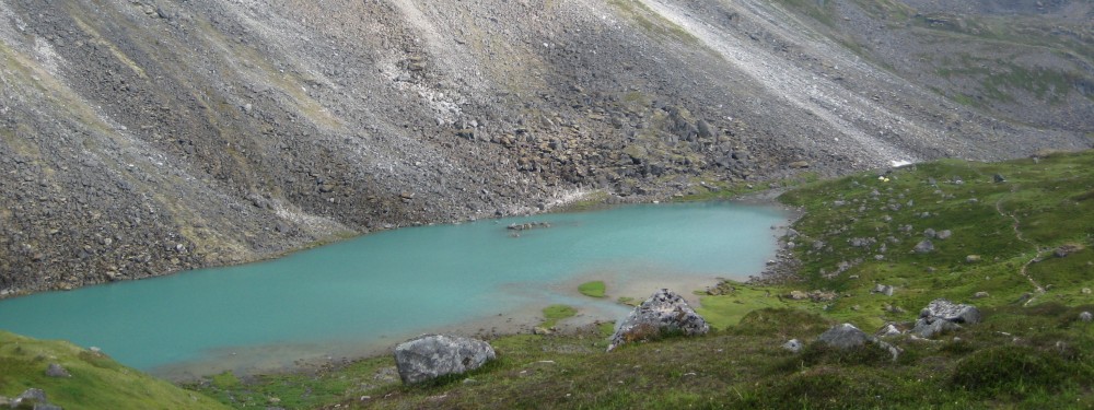
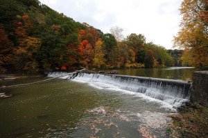
The Elwha River used to be 45 miles long. It flowed north out of Washington’s Olympic Mountains, from glaciers to taiga to lowlands and into the Strait of Juan de Fuca. It was far enough west to pick up the moisture rolling in off the Pacific ocean, far enough east to avoid getting scoured out like the rainforest rivers on the west side of the Olympic Peninsula. And… it was full of salmon. Continue reading

The ecology of dams and dam removal: Condit Dam on the Lower Salmon River, WA (Part 3)

The White Salmon River watershed and surrounding vicinity. Borrowed from friendsofthewhitesalmon.org

By Nate Hough-Snee

Near Washington State’s Mt. Adams, a small river begins, flowing south into the Pacific Northwest’s largest wild Salmon production facility, the Columbia River. This river begins in steep headwaters on one of the Pacific Northwest’s lesser volcanoes and runs 44 miles through forests ranging from the subalpine to second-growth plantations, draining roughly 400 square miles. Continue reading

The ecology of dams and dam removal: The Savage Rapids Dam, Rogue River, OR (Part 2)

A map of the Rogue River Basin. Borrowed from rogueriverkeeper.org

A map of the Rogue River Basin and associated Chinook salmon runs. Borrowed from rogueriverkeeper.org

By Nate Hough-Snee

Case one: the Savage Rapids Dam, Rogue River, OR.

The Rogue River begins a 215-mile journey to the sea from Crater Lake, the remnant caldera from the eruption of Mt. Mazama in south central, Oregon. From Crater Lake the river snakes through Oregon’s lushly forested Cascade Range before heading through the Klamath Mountains and the Kalmiopsis Wilderness and onward to the Pacific Ocean. Between the two mountain ranges, the river passes US Interstate 5 near Grants Pass, a former timber town and the county seat of Southern Oregon’s Josephine County. It’s near this point where the river seemingly parallels I-5, at which a major salvo was fired in the 21st century’s first Pacific Northwest dam wars.

Continue reading

The ecology of dams and dam removal: fast times in the American West (Part 1)

A dam on the Chagrin River, Ohio.

A dam on the Chagrin River, Ohio.

By Nate Hough-Snee

When someone asks, “what is the signature of human beings on Earth?” what do you immediately think of? Does your mind wander to vast expanses of land converted to row-crop agriculture? Or do you think of a sea of urban pavement and rooftops? What about the earth’s brightened night sky, as captured from space? What systems have been ubiquitously changed, those large and small, across continents and cultures? Whatever your answer, many people can agree that the landscapes that humans have most heavily altered are those that they perhaps need most – water dependent ecosystems: streams, rivers and lakes. Continue reading

If a fish could write your water bill

Would these fish approve your water bill? Photo of Rio Grande chub (Gila pandora) courtesy of the U.S. Fish & Wildlife Service.

By Lauren Kuehne

A few months ago, I wrote a blog post Why the mayor wants you to have a green lawn: The dark side of water conservation where I “exposed” the open secret of declining support for water conservation programs. Water districts and utilities end up with a big problem when conservation – to put it bluntly – starts cutting into revenues generated by water consumption, forcing a rise in rates for the same water. This leads to bewildered and betrayed consumers and increasingly strapped public utilities who literally can’t afford conservation. At the end of that article, I promised a follow-up post on water rate structures (aka, what you see on your monthly bill) that utilities can use which promote conservation and meet revenue-for-infrastructure needs. It’s taken me a while to follow up, partly because every time I started researching and writing about water rate structures I found myself inexplicably dozing off. Luckily, once I sat down to it, the breakdown isn’t that complicated, so I am hopeful that it’s possible to stay awake for the exciting conclusion (yes, there is one!). Continue reading